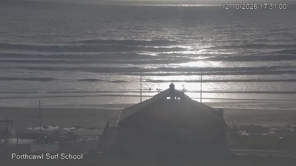
Webcam Llangrannog in diretta, previsioni surf e temperatura dell'acqua
Aggiornato 4 nov, 12:00 UTC
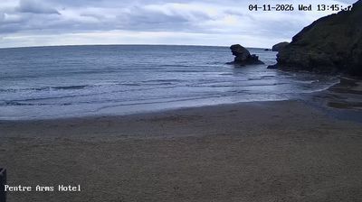
Condizioni attuali
In questo momento a Llangrannog: 16 nodi da ENE, raffiche a 23, onde di 0.7 m, acqua a 14 °C — onde piccole, buone per iniziare.
Previsioni a 7 giorni
| mer 4 | gio 5 | ven 6 | ||||||||||||||||||||||
|---|---|---|---|---|---|---|---|---|---|---|---|---|---|---|---|---|---|---|---|---|---|---|---|---|
| 00 | 03 | 06 | 09 | 12 | 15 | 18 | 21 | 00 | 03 | 06 | 09 | 12 | 15 | 18 | 21 | 00 | 03 | 06 | 09 | 12 | 15 | 18 | 21 | |
| Vento | 15 | 16 | 16 | 16 | 16 | 15 | 14 | 13 | 14 | 15 | 13 | 13 | 13 | 13 | 10 | 9 | 9 | 9 | 8 | 6 | 3 | 6 | 6 | 4 |
| Raffiche | 21 | 22 | 23 | 21 | 23 | 19 | 21 | 19 | 21 | 18 | 19 | 19 | 19 | 14 | 13 | 13 | 13 | 13 | 10 | 7 | 8 | 10 | 8 | 7 |
| Direzione | ↑ | ↑ | ↑ | ↑ | ↑ | ↑ | ↑ | ↑ | ↑ | ↑ | ↑ | ↑ | ↑ | ↑ | ↑ | ↑ | ↑ | ↑ | ↑ | ↑ | ↑ | ↑ | ↑ | ↑ |
| Onde | 0.7 | 0.7 | 0.8 | 0.8 | 0.7 | 0.7 | 0.6 | 0.7 | 0.6 | 0.7 | 0.6 | 0.6 | 0.6 | 0.6 | 0.4 | 0.4 | 0.3 | 0.3 | 0.3 | 0.3 | 0.2 | 0.2 | 0.2 | 0.2 |
| Temperatura | 10 | 10 | 10 | 10 | 11 | 12 | 12 | 10 | 10 | 10 | 10 | 9 | 10 | 10 | 10 | 10 | 9 | 9 | 9 | 9 | 10 | 10 | 11 | 10 |
| Pioggia (mm) | 0.1 | 0.2 | ||||||||||||||||||||||
Orari in ora locale · Vento, onde e temperatura dell'acqua: dati aperti ECMWF (CC BY 4.0) · Maree: EOT20, DGFI-TUM (CC BY 4.0)
🔒 I giorni 4–7 sono Pro — Il piano gratuito mostra i primi 3 giorni di previsioni. Passa a Pro per vedere tutta la settimana.
🔓 Pro — 19 € / anno
Le previsioni complete a 7 giorni su ogni spot, un abbonamento annuale a prezzo fisso.
Passa a ProPrevisioni surf
| mer 4 | gio 5 | ven 6 | ||||||||||||||||||
|---|---|---|---|---|---|---|---|---|---|---|---|---|---|---|---|---|---|---|---|---|
| 12 | 15 | 18 | 21 | 00 | 03 | 06 | 09 | 12 | 15 | 18 | 21 | 00 | 03 | 06 | 09 | 12 | 15 | 18 | 21 | |
| Surf (stima) | 0.5 | 0.6 | 0.5 | 0.5 | 0.5 | 0.5 | 0.5 | 0.4 | 0.4 | 0.4 | 0.4 | 0.3 | 0.3 | 0.3 | 0.3 | 0.2 | 0.3 | 0.3 | 0.2 | 0.2 |
| Swell principale | 0.214s↑ | 0.213s↑ | 0.213s↑ | 0.213s↑ | 0.213s↑ | 0.212s↑ | 0.212s↑ | 0.212s↑ | 0.211s↑ | 0.211s↑ | 0.111s↑ | 0.111s↑ | 0.111s↑ | 0.110s↑ | 0.26s↑ | 0.15s↑ | 0.110s↑ | 0.110s↑ | 0.110s↑ | 0.110s↑ |
| Swell secondario | 0.110s↑ | 0.110s↑ | 0.110s↑ | 0.110s↑ | 0.110s↑ | 0.110s↑ | ||||||||||||||
| Mare da vento | 0.63s↑ | 0.64s↑ | 0.64s↑ | 0.64s↑ | 0.64s↑ | 0.53s↑ | 0.53s↑ | 0.53s↑ | 0.53s↑ | 0.53s↑ | 0.43s↑ | 0.33s↑ | 0.43s↑ | 0.33s↑ | 0.11s↑ | 0.11s↑ | 0.12s↑ | 0.12s↑ | 0.12s↑ | 0.11s↑ |
| Onde | 0.7 | 0.7 | 0.6 | 0.7 | 0.6 | 0.7 | 0.6 | 0.6 | 0.6 | 0.6 | 0.4 | 0.4 | 0.3 | 0.3 | 0.3 | 0.3 | 0.2 | 0.2 | 0.2 | 0.2 |
| Periodo | 4s | 4s | 4s | 4s | 3s | 4s | 3s | 3s | 3s | 3s | 3s | 4s | 3s | 4s | 3s | 7s | 10s | 10s | 10s | 10s |
| Energia | 1 | 1 | 1 | 1 | 1 | 1 | 1 | 1 | 1 | 1 | 0 | 0 | 0 | 0 | 0 | 0 | 0 | 0 | 0 | 0 |
| Onda lunga | 0.1 | 0.1 | 0.1 | 0.1 | 0.1 | 0.1 | 0.1 | 0.1 | 0.1 | 0.1 | 0.1 | 0.1 | 0.1 | 0.1 | 0.1 | 0.1 | 0.0 | 0.0 | 0.0 | 0.0 |
L'altezza del surf è stimata dallo swell principale per una spiaggia rivolta verso di esso; reef, banchi di sabbia e marea la cambiano. Energia in kW per metro di costa. Onda lunga: onde da 12 s in su. Swell: NOAA WAVEWATCH III · ECMWF
Maree (prossime 48 h)
Info sullo spot
- Località: Llangrannog, Ceredigion
- Acqua: Mare
- Sport: Surf
- Direzioni del vento migliori: ESESESSE
Llangrannog is a small village tucked into a steep valley on the Ceredigion coast of Cardigan Bay, with a sandy cove at its foot that faces north-west. The beach is guarded by Carreg Bica, a striking pillar of rock which local legend calls a giant's tooth, and at low tide you can walk round the rocks to the neighbouring cove of Cilborth. Cardigan Bay is partly sheltered from the Atlantic, so Llangrannog needs a good-sized westerly or south-westerly swell to come alive, but when it does the cove produces punchy waves, and on those days you will find local surfers in the water; a south-easterly breeze is offshore. In calmer weather it is a lovely spot for swimming, paddleboarding and spotting dolphins, which are regularly seen along this stretch of coast. Parking in the village is very limited and the lanes down to it are narrow, so arriving early in summer helps; there is a pub, a café and a small shop near the beach. The Wales Coast Path climbs the cliffs on either side, and the Urdd's well-known youth camp is just up the hill. The sea reaches around 16 °C in late summer. The live webcam looks across the beach; the surf forecast and sea temperature follow.
Llangrannog: domande frequenti
- C'è una webcam a Llangrannog?
- Sì. La webcam in diretta di Llangrannog è in cima a questa pagina, accanto alle previsioni di vento e onde.
- Con quale direzione del vento funziona Llangrannog?
- Funziona meglio con vento da ESE, SE, SSE.