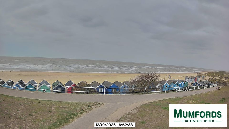
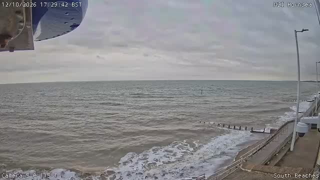
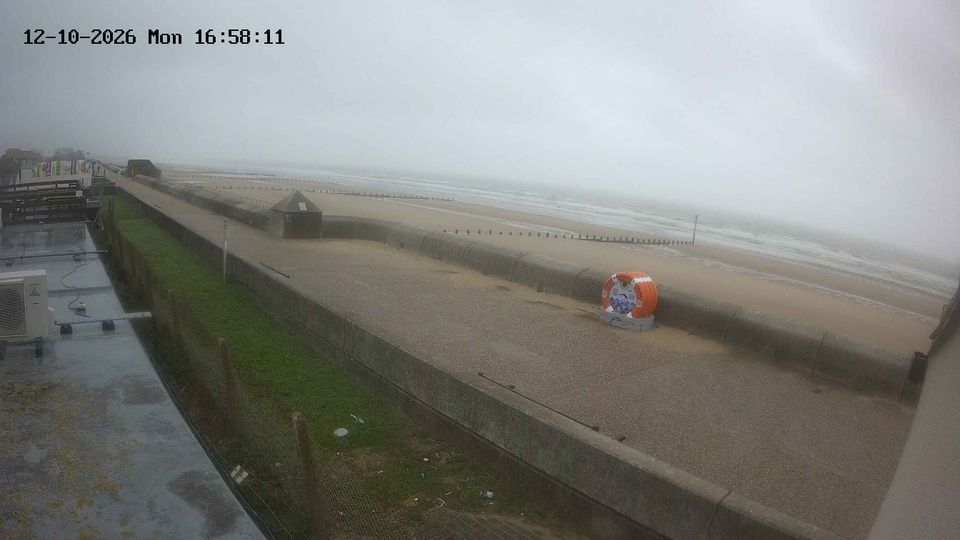
Sheringham surf forecast, webcam & sea temperature
Updated 12 Oct, 14:00 UTC
Current conditions
Right now at Sheringham: 12 kts S, gusts 22, 0.7 m waves, water 15 °C — small waves, good for beginners.
7-day forecast
| Mon 12 | Tue 13 | Wed 14 | Thu 15 | |||||||||||||||||||||
|---|---|---|---|---|---|---|---|---|---|---|---|---|---|---|---|---|---|---|---|---|---|---|---|---|
| 03 | 06 | 09 | 12 | 15 | 18 | 21 | 00 | 03 | 06 | 09 | 12 | 15 | 18 | 21 | 00 | 03 | 06 | 09 | 12 | 15 | 18 | 21 | 00 | |
| Wind | 8 | 8 | 8 | 13 | 12 | 14 | 12 | 9 | 10 | 10 | 13 | 13 | 16 | 11 | 9 | 8 | 5 | 6 | 7 | 11 | 11 | 9 | 9 | 11 |
| Gusts | 13 | 14 | 14 | 23 | 22 | 24 | 21 | 15 | 18 | 18 | 25 | 23 | 31 | 21 | 18 | 15 | 10 | 11 | 12 | 19 | 19 | 13 | 14 | 18 |
| Direction | ↑ | ↑ | ↑ | ↑ | ↑ | ↑ | ↑ | ↑ | ↑ | ↑ | ↑ | ↑ | ↑ | ↑ | ↑ | ↑ | ↑ | ↑ | ↑ | ↑ | ↑ | ↑ | ↑ | ↑ |
| Waves | 0.6 | 0.6 | 0.6 | 0.6 | 0.7 | 0.8 | 0.7 | 0.5 | 0.5 | 0.5 | 0.5 | 0.7 | 0.7 | 0.7 | 0.7 | 0.7 | 0.6 | 0.5 | 0.4 | 0.4 | 0.4 | 0.4 | 0.3 | 0.3 |
| Temperature | 8 | 10 | 13 | 17 | 17 | 15 | 15 | 16 | 16 | 16 | 18 | 19 | 19 | 16 | 13 | 11 | 10 | 8 | 10 | 16 | 17 | 14 | 14 | 14 |
| Rain (mm) | 0.1 | |||||||||||||||||||||||
Times shown in local time · Weather data by Open-Meteo.com
🔒 Days 4–7 are Pro — The free plan shows the first 3 forecast days. Go Pro to see the whole week.
Tides (next 48 h)
Spot info
- Town: Sheringham
- Water: Sea
- Sports: Surf
- Best wind directions: SSWSE
The beach below Sheringham's promenade on the North Norfolk coast, flint shingle with sand and chalk reefs exposed at low tide, between groynes. It faces north onto the North Sea and picks up northerly swell, mostly from autumn to spring, and the reefs around here are among East Anglia's surf spots. Southerly winds are offshore. Cold water; a winter wetsuit most of the year.
Sheringham sea temperature
Today: 15 °C
| Month | Jan | Feb | Mar | Apr | May | Jun | Jul | Aug | Sep | Oct | Nov | Dec |
|---|---|---|---|---|---|---|---|---|---|---|---|---|
| °C | 6 | 6 | 7 | 9 | 12 | 15 | 18 | 18 | 17 | 14 | 11 | 8 |
Monthly mean sea surface temperature, 2023–2025.
Sheringham weather by month
Biggest average waves: January, November and December.
| Jan | Feb | Mar | Apr | May | Jun | Jul | Aug | Sep | Oct | Nov | Dec | |
|---|---|---|---|---|---|---|---|---|---|---|---|---|
| Avg wind (kts) | 12 | 11 | 11 | 11 | 9 | 10 | 9 | 10 | 10 | 10 | 11 | 12 |
| Days ≥12 kts | 55% | 49% | 47% | 49% | 33% | 40% | 35% | 38% | 44% | 42% | 56% | 66% |
| Waves (m) | 1.0 | 0.8 | 0.8 | 0.8 | 0.7 | 0.6 | 0.6 | 0.6 | 0.7 | 0.9 | 1.0 | 1.0 |
| Air high (°C) | 7 | 9 | 11 | 13 | 16 | 20 | 21 | 21 | 19 | 15 | 11 | 10 |
| Water (°C) | 6 | 6 | 7 | 9 | 12 | 15 | 18 | 18 | 17 | 14 | 11 | 8 |
Model averages, 2023–2025 (Open-Meteo). Wind is the daytime mean, 08:00–20:00; a day counts when it has 3 or more daytime hours at 12 knots or above.
Sheringham FAQ
- Is there a beach webcam at Sheringham?
- Yes. The live beach webcam for Sheringham is at the top of this page, next to the wind and wave forecast.
- What is the sea temperature at Sheringham?
- Today the water is 15 °C. Over the year it runs from 6 °C in February to 18 °C in August (2023–2025 average).
- When is the best time to surf at Sheringham?
- January, November and December have the biggest average waves, on the 2023–2025 average.
- What wind direction works at Sheringham?
- It works best in S, SW, SE winds.